What does Philippines seek with new Thitu map in South China Sea?
Por Jeoffrey Maitem — South China Morning Post – News feed
Advertisement The Philippines This Week in Asia Politics What does Philippines seek with new Thitu map in South China Sea?
By publishing coordinates, charts and the legitimate basis of its position, the Philippines is aiming to reduce legal ambiguity, experts say
4 -MIN READ 4 -MIN Listen
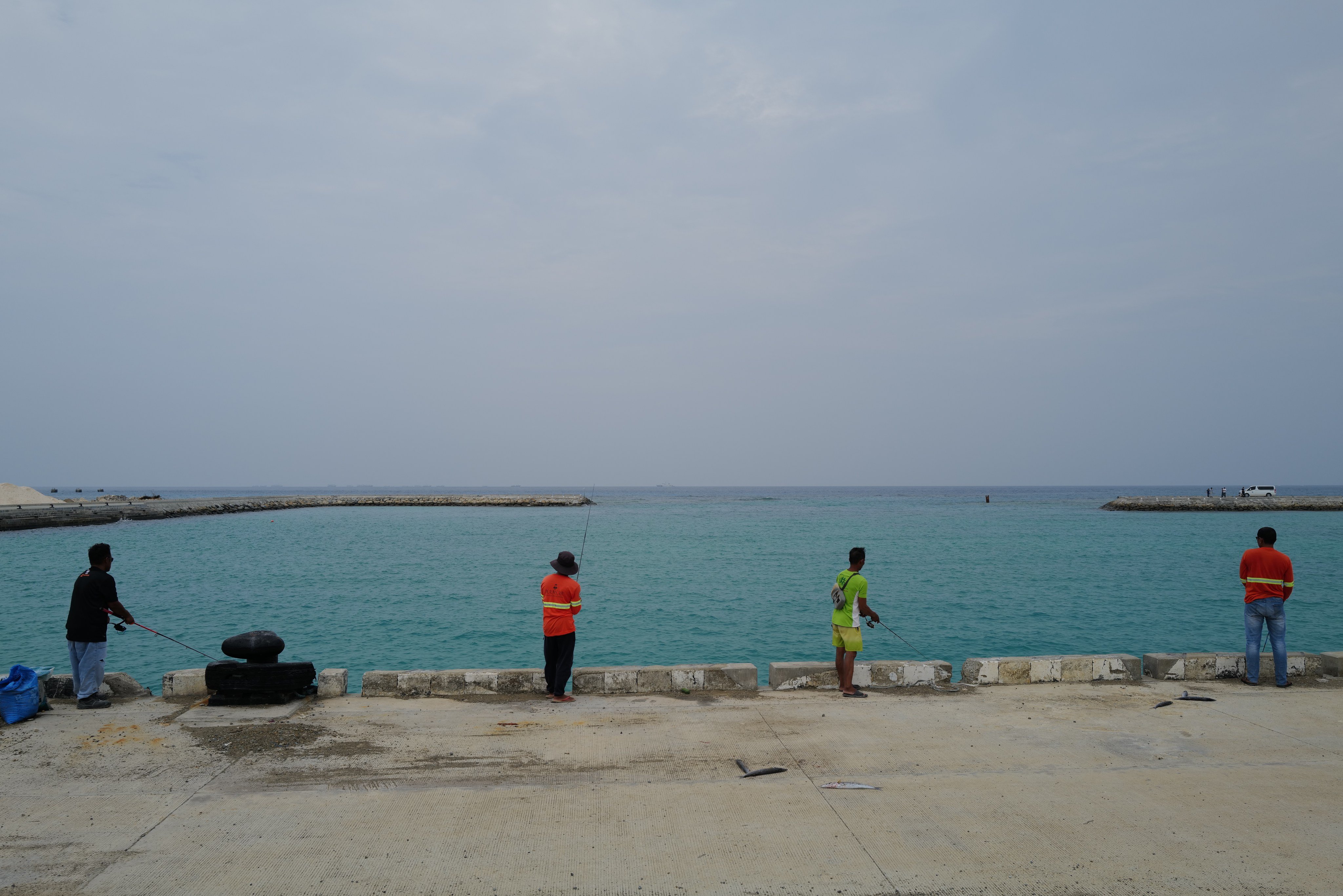

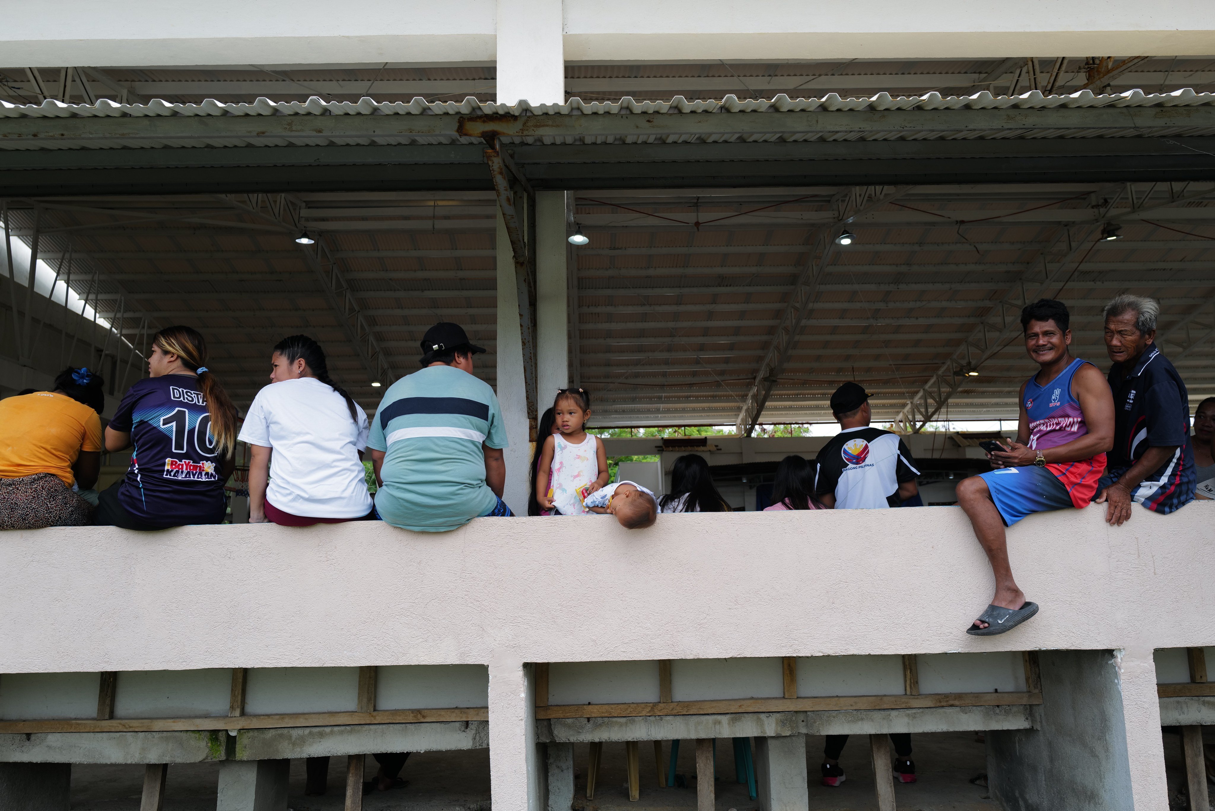
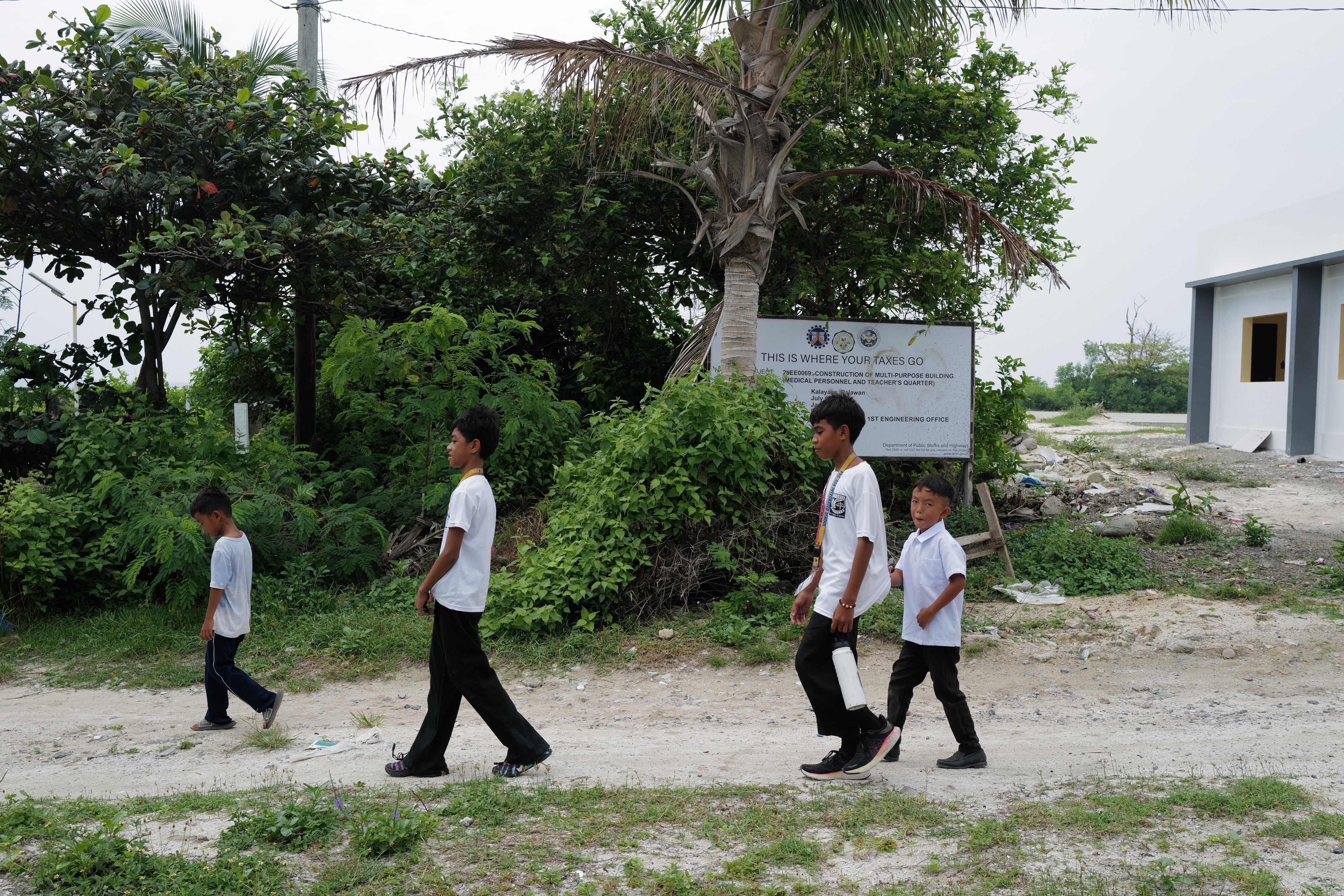
Jeoffrey Maitem Published: 11:43am, 2 Oct 2026 Thitu Island and its residents have come under the spotlight after the Philippines , in a bid to reinforce its claims in the South China Sea , announced plans to file an updated maritime chart with the United Nations .
Observers say the filing would not establish Philippine sovereignty but could help Manila identify and challenge competing claims in more precise legal terms.
More than just a technical document, the updated map is a means for the government to formally document its presence and claim sovereignty over Thitu, known locally as Pagasa, according to Presidential Assistant for Maritime Concerns Andres Centino.
The former military officer said the map charted water depths, island contours and features around Thitu, Lawak and other parts of the Kalayaan island group, including those that remained above water at high tide.
Select Voice Select Speed 0.8x 0.9x 1.0x 1.1x 1.2x 1.5x 1.75x 00:00 00:00 1x AI-generated voice