El Niño helped turn tropical storm into Category 5 monster in just 24 hours, experts say
Por Seth Borenstein — – World RSS Feed
El Niño helped turn tropical storm into Category 5 monster in just 24 hours, experts say
Both climate change and a strong El Niño combined to cause Hurricane Polo to explosively intensify from a tropical storm to a Category 5 monster in just 24 hours
Seth Borenstein Thursday 15 October 2026 15:54 BST
- Bookmark
Bookmark popover
Removed from bookmarks
Close popover
 open image in gallery
Become an Independent member to bookmark this article
Want to bookmark your favourite articles and stories to read or reference later? Start your Independent Membership today.
Already a member?
Log in
New research found that a combination of climate change and El Niño drove the rapid intensification of Hurricane Polo last month—the longest-lasting Category 5 system ever recorded in the Pacific Ocean.
A joint report released Thursday by the science teams Climate Central and World Weather Attribution identified global warming caused by burning coal, oil, and gas as the larger factor. It boosted the storm’s wind speeds by approximately 6 mph (nearly 10 kph).
A study co-author noted that El Niño contributed a bit less, adding around 5 mph (8 kph).
 open image in gallery
Ocean temperatures reached 88 degrees Fahrenheit (31.2 degrees Celsius)—up to 3.6 degrees Fahrenheit (2 degrees Celsius) warmer than normal—which fueled the storm, the study found. Climate change made those conditions 23 times more likely, while El Niño—the natural, temporary warming of parts of the Pacific—made them 14 times more likely.
Driven by a super-strong El Niño, this year has set records for the strength and longevity of Pacific storms. Hurricane Polo set the record for time spent at Category 5 status in the Pacific at two and a half days.
“El Niño and climate change both made this hurricane stronger than it would have otherwise been, but the effect of climate change is even bigger than the one of El Niño,” said climate scientist and study co-author Friederike Otto, who coordinates the international science team behind World Weather Attribution.
“El Niño comes and goes, but climate change only gets worse. That means every hurricane that occurs in the East Pacific now has at least this climate change signal making it stronger. And as long as we keep burning fossil fuels, that will only get bigger,” Otto added.
 open image in gallery
Researchers noted that Polo would have been a powerful storm even without climate change and El Niño. However, every bit of additional wind speed can dramatically increase potential damage.
Decoding Polo’s rapid strengthening
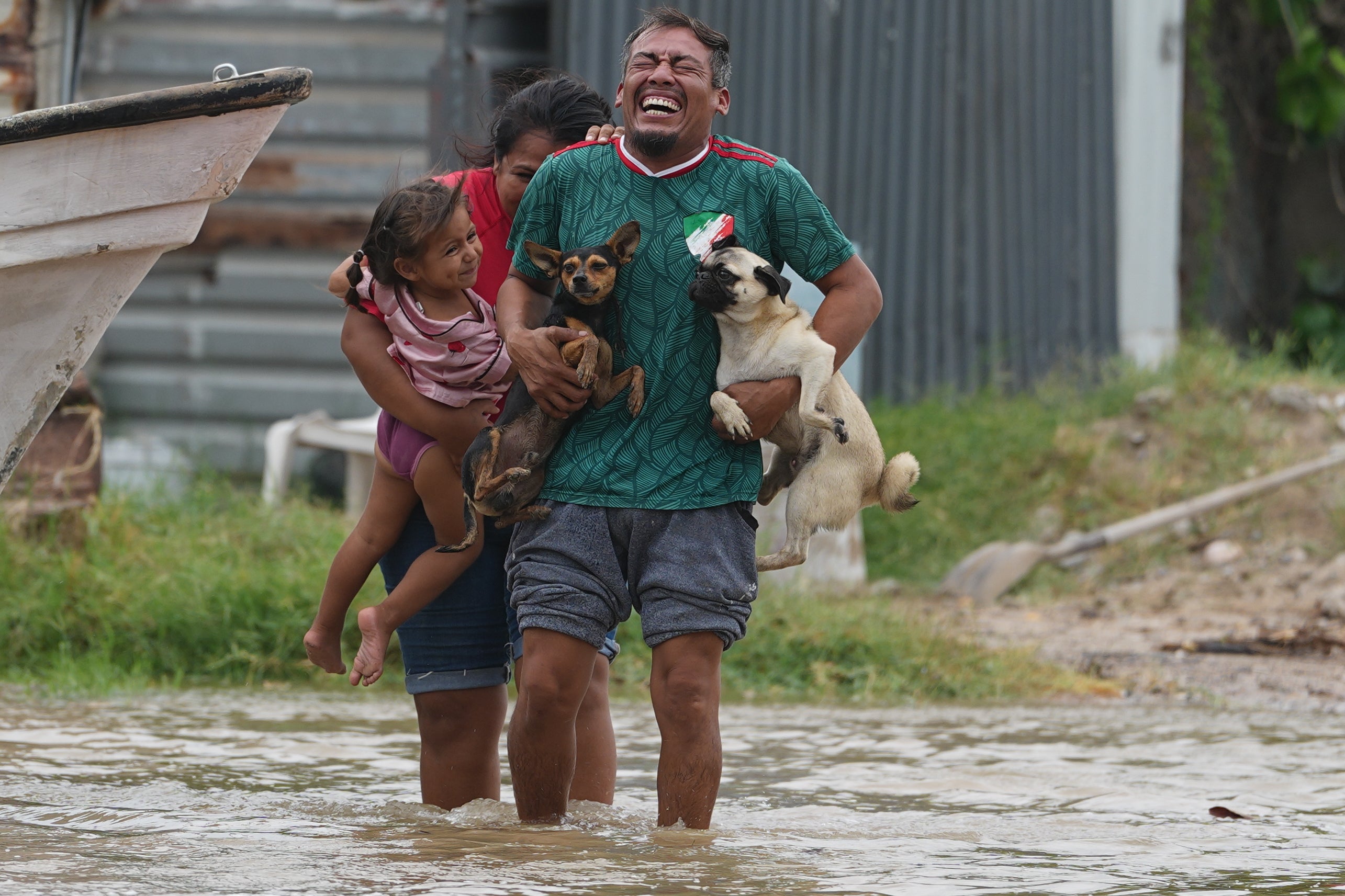

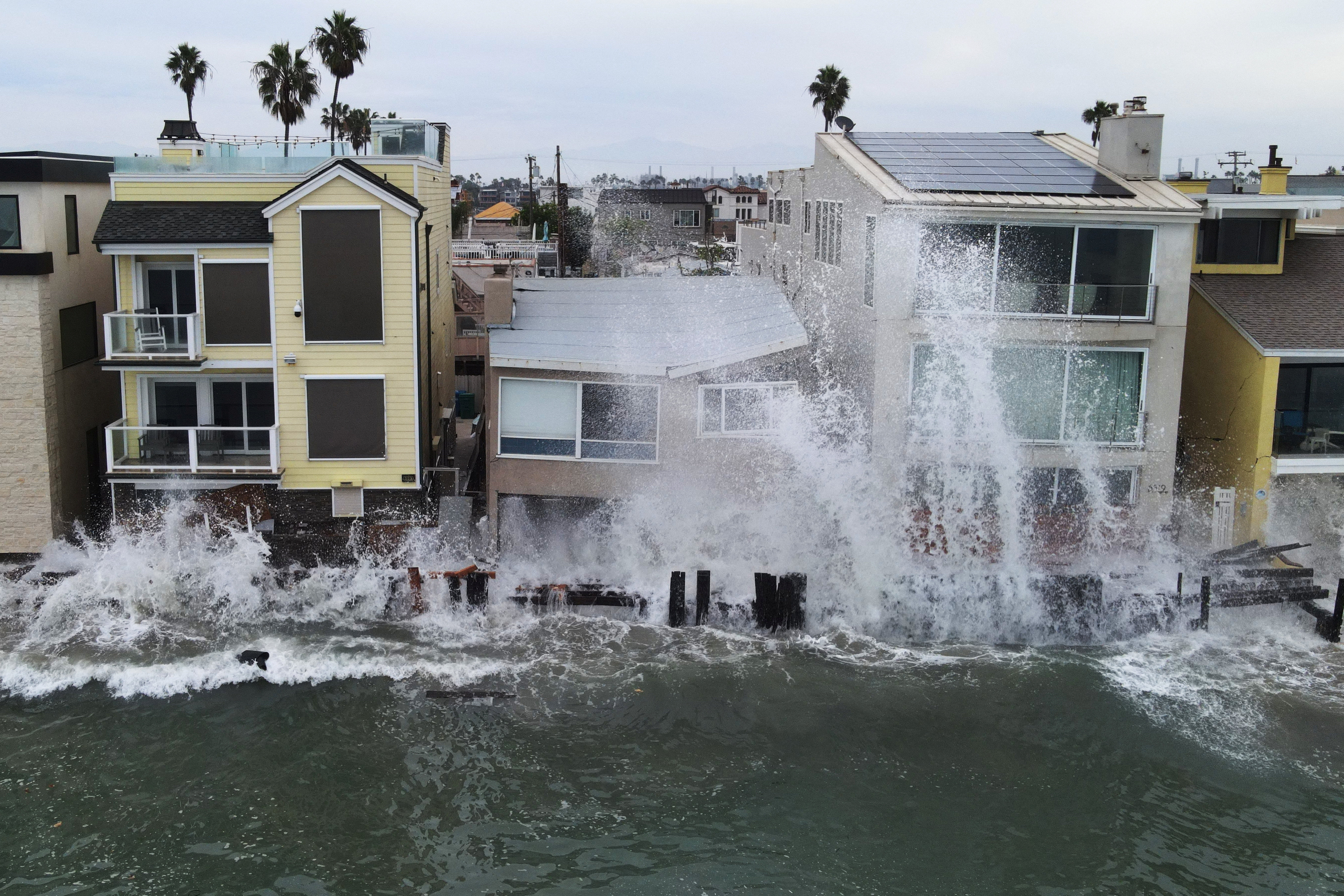
Although Hurricane Polo degraded significantly before making landfall in a sparsely populated region of Mexico, researchers remain intrigued by how the storm rapidly intensified from a tropical system into a top-tier Category 5 hurricane within roughly 24 hours.
The research places various atmospheric threats in context, according to Kristina Dahl, a climate scientist and vice president of science at Climate Central, a science and journalism nonprofit based in New Jersey.
 open image in gallery
“It’s a powerful reminder that even though El Niño right now is shifting hazards around the globe and changing where it’s flooding and getting dry, the really dominant signal behind all of this remains climate change,” she said.
The analysis examined the warm waters that power tropical systems by gauging potential storm intensity. However, the work did not evaluate upper-level wind shear, where El Niño exerts a substantial influence.
While El Niño generally increases storm-dismantling high-altitude winds across the Atlantic, shifting wind patterns in the Pacific reduce the winds that otherwise weaken storms.
Two separate research groups measured atmospheric conditions differently and used distinct analytical methods, yet both arrived at the same overall conclusion, bolstering confidence in the findings. Nevertheless, the rapid study has not undergone scientific peer review, which remains the recognized gold standard.
 open image in gallery
To determine the extent of climate change’s influence on Polo, both teams utilized the accepted scientific practice of comparing observations from our warmer modern climate against a modeled world that has not experienced 2.5 degrees (1.4 degrees Celsius) of warming since pre-industrial times.
How El Niño and climate change interact
Daniel Gilford, a scientist at Climate Central and co-author of the study, likened the atmospheric mechanics to road traffic. Wind shear from El Niño acts as a red light in the Atlantic, but becomes a green light in the Pacific.
In the Pacific, that green light gives permission to go, with waters warmed by both El Niño and climate change acting like a motorist flooring the accelerator.
University at Albany atmospheric scientist Brian Tang, who was not part of the study, said he was initially surprised that climate change was cited as a larger influence on Polo, “given how extreme this El Niño is, but from a long-term standpoint, perhaps the result isn’t as surprising as it might seem.”
 open image in gallery
However, three external scientists—Jeff Masters of Yale Climate Connections, Michael Mann of the University of Pennsylvania, and Carl Schreck of North Carolina State University—believed the research underestimates climate change’s contribution to Polo’s strength.
Masters cited Gilford’s own 2024 study showing climate change added 16 mph (30 kph) to Atlantic hurricanes between 2019 and 2023.
Gilford acknowledged Thursday’s report could be slightly underestimating the impact of climate change, but explained he took a conservative approach while factoring in other conditions.
More about
El NinoStudyPoloAtlanticMexicoNew JerseyMichael MannUniversity of PennsylvaniaNorth Carolina State UniversityPacific Ocean
Most popular
Popular videos
Bulletin
Read next
Fonte: – World RSS Feed